LAND-SURVEYING
We provide full land-surveying service at each stage of erection
and operation of built structures and engineering and industrial facilities.
Comprehensive land-surveying service at the building site


Establishing geodetic control network
We design, establish and update the geodetic control networks for the needs of the public authorities as well as for construction works, for deformations and displacements.
Studies for design, legal and planning purposes
We carry out and update large-scale numerical maps (cadastral, master and thematic maps) which become the basis for design and for establishing geographical information systems.


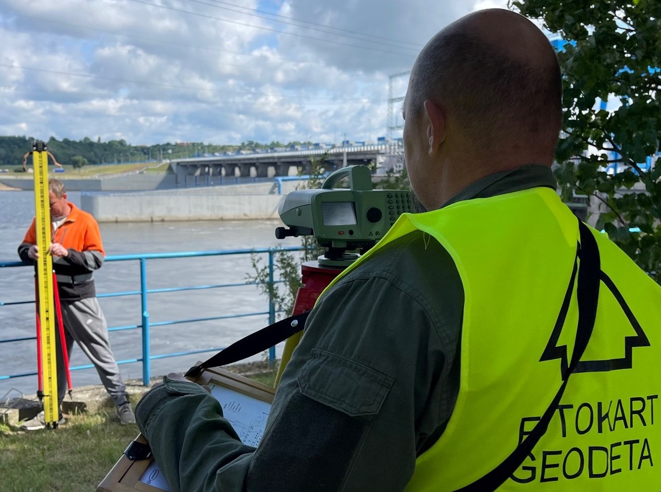
Measurements of sinking, settlement and deformations
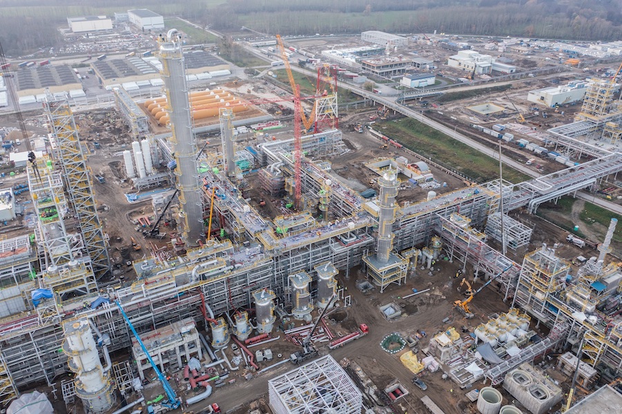
We carry out a variety of works related to measuring sinking, settlement and deformations of industrial facilities or built structures, as well as entire construction objects together with their environs, including factories and large-size structures.
As-built surveys
At the completion of the investment process, we carry out a survey of works delivered.


