GEOGRAPHICAL TECHNOLOGY
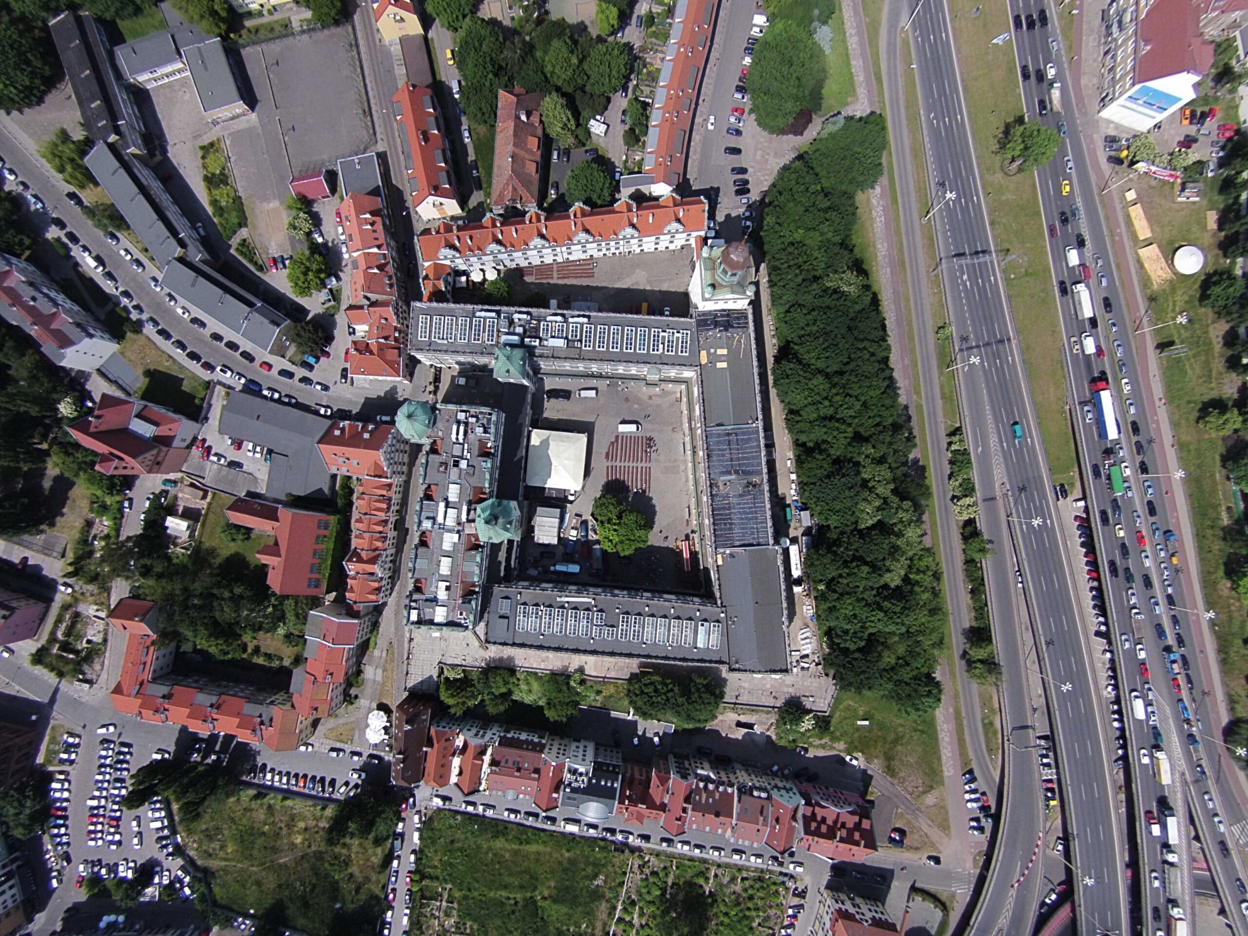
We carry out laser scanning, photographic and othrophotographic maps,
virtual 3D models and photogrammetric flights.
Photographic maps and ortho-photographic maps
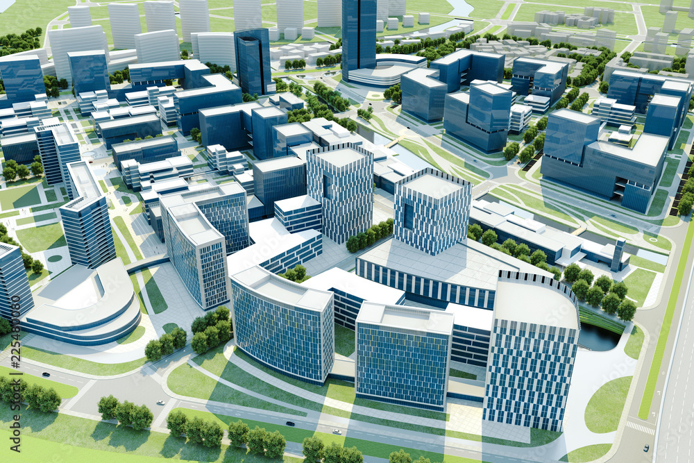
3D cities
We create digital spatial models based on data collected from specialized photogrammetric instruments. Depending on customer’s needs, the model can include data from direct measurements as well as real-life photos of building exteriors.
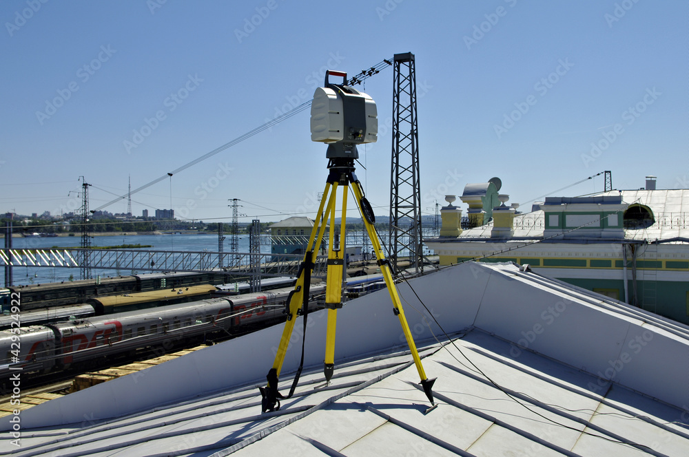
Laser scanning
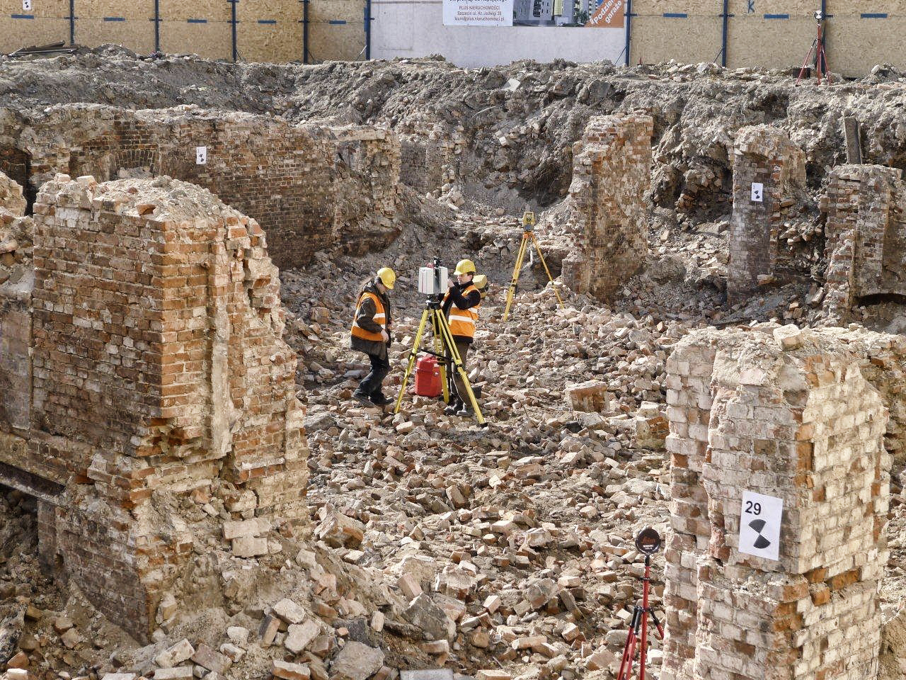
Thanks to a short measurement time, we can scan from as many as a few dozen locations, which minimizes the time needed to cover large and complex facilities in the field. The combined scans create a point-cloud which represents the shape of the object with the precision of one up to several millimetres.
Establishment and enhancement of GESUT, BDOT 500, EGIB databases
We convert maps, technical drawings, registers and indexes as well as other types of data from analogue to digital formats by scanning, digitalisation (vectorisation), conversion of digital data pools from and to a variety of formats, recalculation and transformation of archive data.
